Average temperatures are increasing and Minnesota is seeing more precipitation.
According to the DNR, average temperatures in Minnesota have warmed by nearly 3°F since 1895. At the same time, the state has experienced increases in precipitation, getting an average of 3.4 inches wetter. While Minnesota has gotten warmer and wetter since 1895, the most dramatic changes have come in the past several decades.
Each of the top ten warmest and wettest years on record have all occurred since 1998. The decades ahead will bring even warmer winters and nights, and even larger rainfalls, along with the likelihood of increased summer heat and the potential for longer dry spells. Mid-century projections indicate that the average annual five-day maximum temperature in Northern Minnesota will increase from 88°F to between 93 - 95°F, depending on how quickly we act to address climate change.
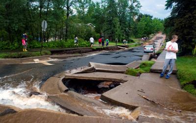
Heavy rains are now more common in Minnesota and more intense than at any time on record. Long-term observation sites have measured dramatic increases, including a 20% increase in the number of one-inch and a 65% increase in the number of three-inch rains. The size of the heaviest annual rainfall also has increased by 13%. These trends are seen across the Midwest, as annual precipitation in the region has increased by 5% to 15% from the first half of the 20th century (1901-1960) compared to more recent years (1986-2015).
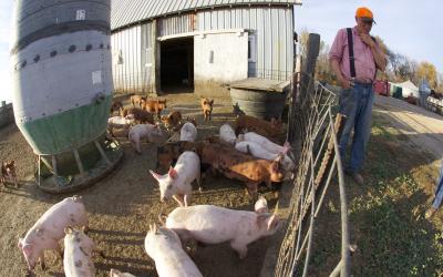
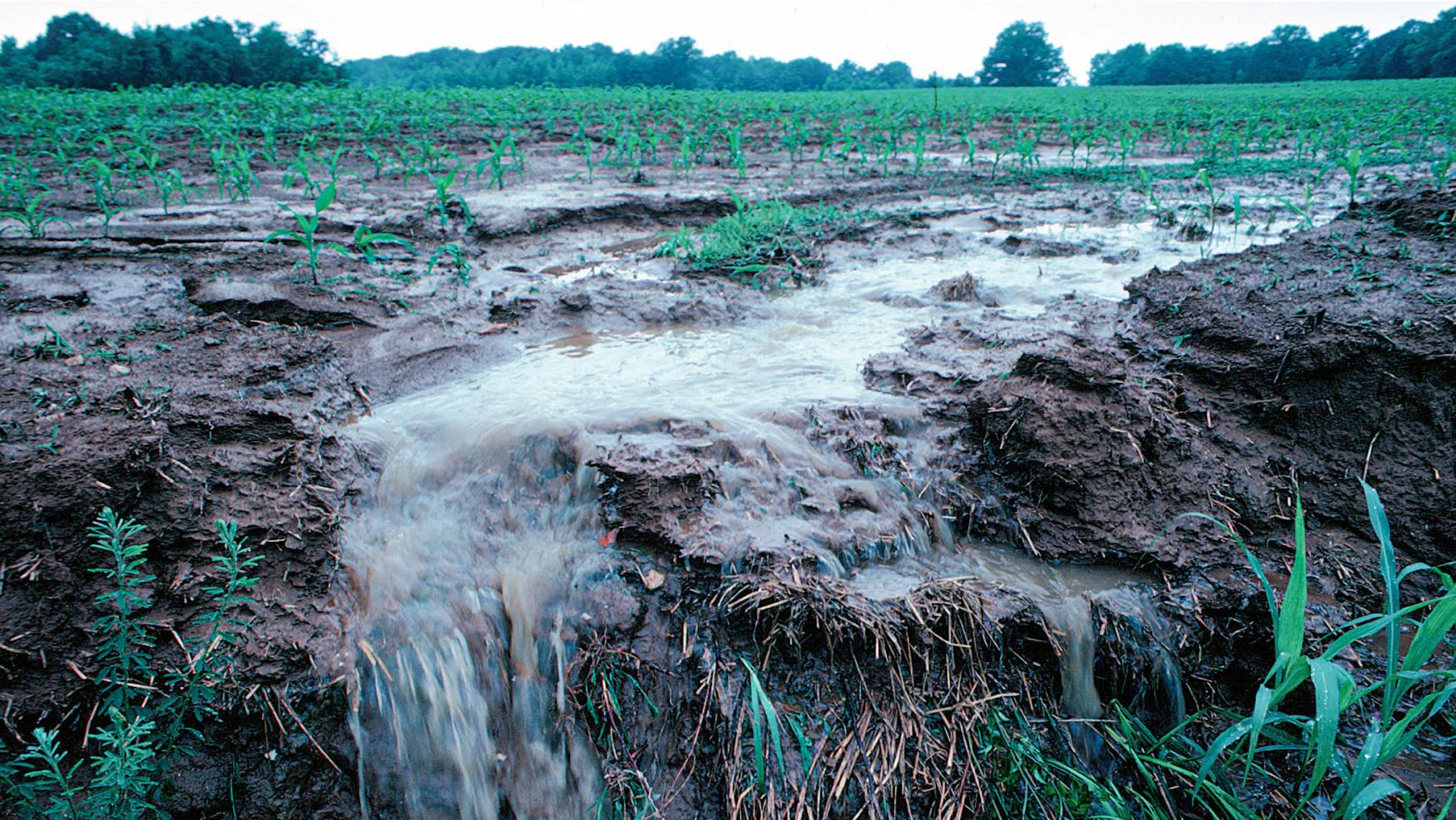
Increases in precipitation contribute to flooding, erosion, declining water quality, and negative impacts on transportation, agriculture, human health, and infrastructure. For example, increasing spring rainfalls will reduce planting season workdays due to waterlogged soil, and increase the potential for soil erosion on Minnesota's farms.
More information: Minnesota climate trends (DNR)